KO‘OLAUPOKO


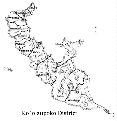
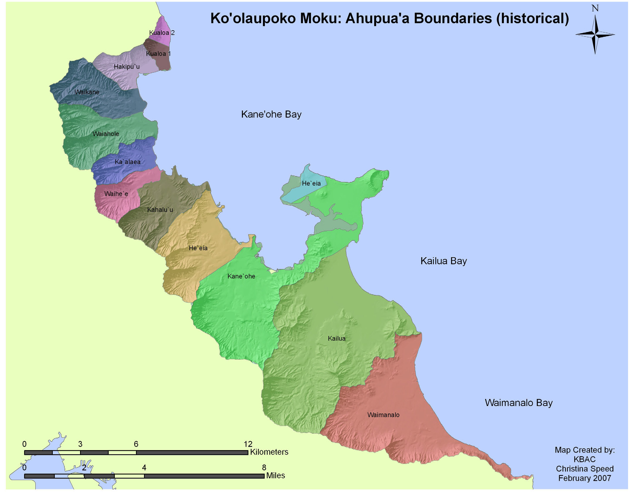
Many wonderful maps of Ko‘olaupoko were created by Kailua Bay Advisory Committee (KBAC), an organization that is no longer operating. However, some of these maps have been preserved by the Hawaii Department of Health and can be viewed as a PDF file HERE. For our purposes, the map of historical ahupua‘a boundaries is most useful and is reproduced below.


Nā ‘aina i ho‘ola ‘ia e ka wai
Windward Watersheds Web-Ring Project
Webmaster